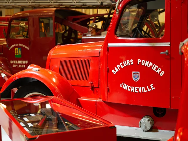
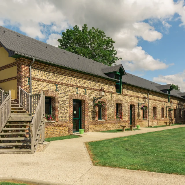
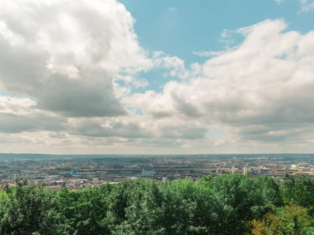
20240711 10363020240711 103630
©20240711 103630|Rouen Tourisme
HikingThe GR® 210

GR210 tidal hunt from Dieppe to Rouen

The GR® 210 is an 86-kilometer route between Rouen and Dieppe, steeped in history.

We've tested it for you

The GR® 210

The name “chasse-marée” comes from the fishmongers who transported the fish between Dieppe and Paris. In the 18th century, some 5,000 carriages a year made the journey, carrying up to 200 pounds of fish. The aim was to bring fresh fish from the port of Dieppe, the closest fishing port to the capital, overnight. The part of the route we’re going to describe here lies mainly in the Rouen metropolitan area, where you’ll pass through forests and exceptional natural areas. This itinerary can be completed in a single day.

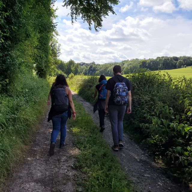
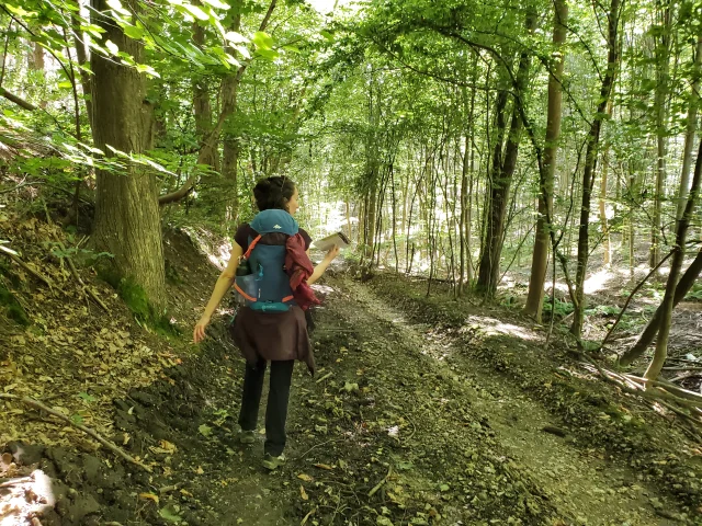
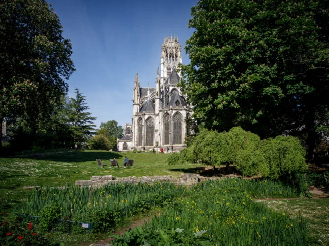
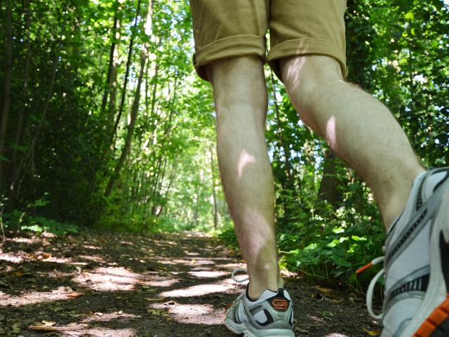
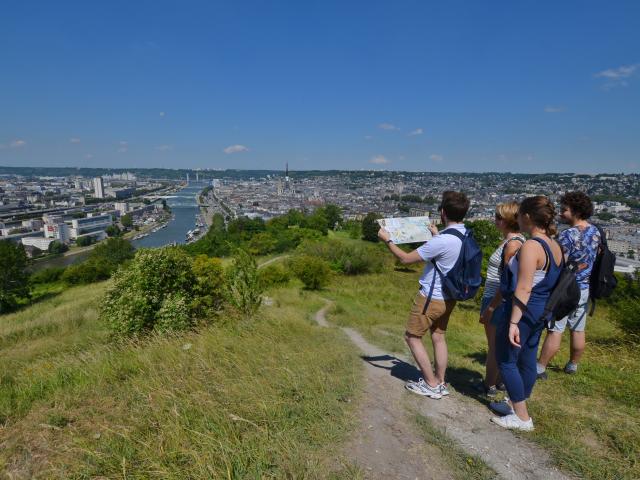
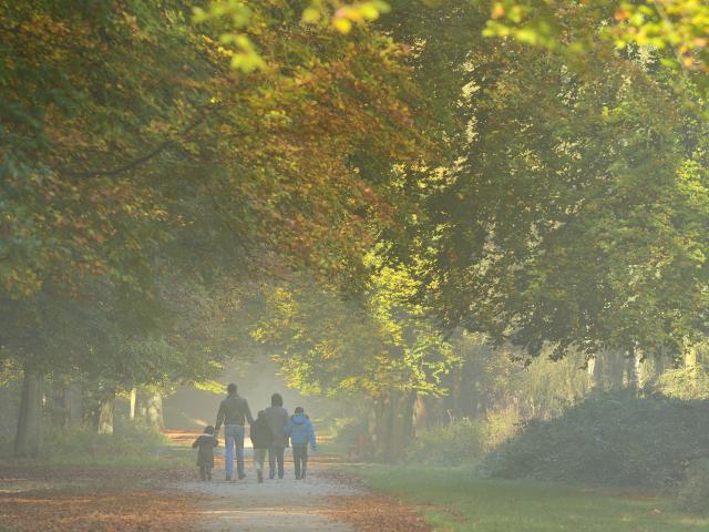
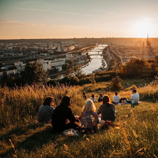
Departure for the GR® 210

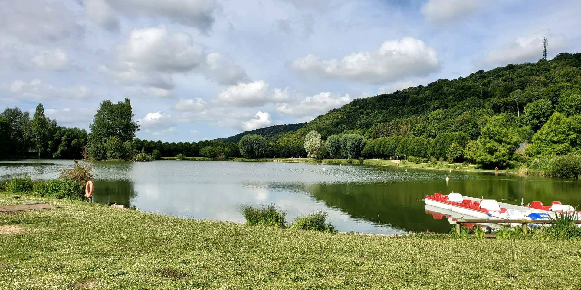
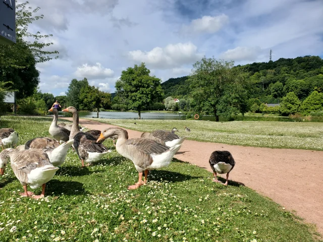
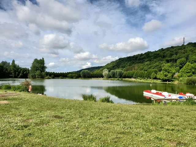
After breakfast, it’s off to Rouen station in bright sunshine, with the train to Dieppe already on track no. 6, waiting for me for just a 10-minute journey to Montville. I join my colleagues from the other tourist offices in the town park to take the GR® 210, marked in red and white. This park is a real change of scenery, with a 3-hectare lake, a water garden, an arboretum, a bird sanctuary, a playground and a petanque court. Many joggers run an 800m loop around the lake. Children shyly approach the wandering geese, ducks, swans and moorhens. In short, a veritable oasis in the middle of the city. We also pass the church of Notre-Dame de l’Assomption, on which the town council has decided to inscribe the republican motto “liberté, égalité, fraternité” (liberty, equality, fraternity), as on all public buildings.

A stopover

in an atypical museum

We then take the little wooden bridge out of the park back to the center of town and a short detour to the Musée des Sapeurs-Pompiers de France in Montville, created in 1993, before starting our hike. It houses vehicles, equipment, engravings, period documents, helmets and uniforms that retrace the action of firefighters since the 18th century (allow around two hours for the visit). The museum’s director is a true enthusiast, and if you’re lucky enough to come across her, he’ll brighten up your visit with plenty of anecdotes.

A lunch break

well-deserved

It’s already 11:30am, and we’re really starting our hike, heading back towards the park to take our first ascent along a tarmac road. We get a good view of the city, with its mix of urban development, fields and lush vegetation. After continuing along the woodland path, we arrive in the Mont Réal and Saint-Maurice woods, real halos of coolness on a day when the temperature continues to rise. A moment of total disconnection, where everyone goes about their business amid the trees, birdsong and fields of flax. Hunger begins to set in, and we finally stop at a picnic table around 1pm.

Relief

of the forest

We then arrive in Houppeville on the edge of the Forêt Domaniale Verte, the first town in the Rouen metropolitan area. We pass through the churchyard and enter the Forêt Domaniale Verte via a narrow path running alongside the cemetery. From here, a long descent takes you deep into the forest, although this part can be slippery in heavy rain. A series of ascents and descents follow in this landscape marked by relief. Descend a steep slope to the Chemin du Val-Allard and join the Route des Long Vallons. You’re just a short distance from Notre-Dame-de-Bondeville and your final destination. Take a stroll through the town’s streets before heading for the Bois de l’Archevêque, a popular destination for joggers and home to a fitness trail.

A breathtaking view of Rouen

to end on a high note

Finally, we head for one of the city’s most beautiful panoramas, that of Mont-Saint-Aignan: panorama reading tables and benches offer a 180° view of the 6th bridge, the Bonsecours basilica, Notre-Dame cathedral, my côte Sainte-Catherine, the Rouen Zenith, etc… We then head to the other side of the roundabout and enter the Cotillet woods via the Panorama gate. We take a small path up the valley and end up in the parking lot of the Mont-Saint-Aignan town hall. We then descend along a tarmac road to Place Cauchoise and finally arrive in Rouen city center. You’re now just a few steps from Place du vieux-marché, the city’s central square where Joan of Arc was burned in 1431: the end of the GR® 210 and the junction with the GR® 2 along the Seine. Don’t hesitate to take advantage of the city’s charms and visit Rouen’s must-sees: the Cathedral, the Gros Horloge, the Aitre Saint-Maclou, the Musée des Beaux-Arts, the Musée de la Céramique, the Historial Jeanne d’Arc and miles and miles of other sights. More information on the FF Randonnée de Seine-Maritime website.

Close