A breathtaking view...
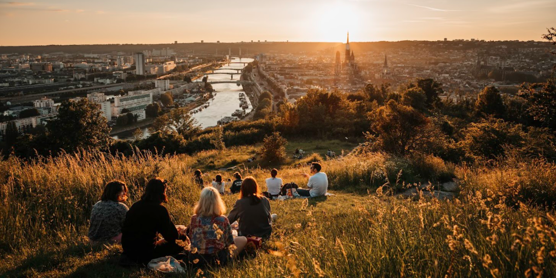
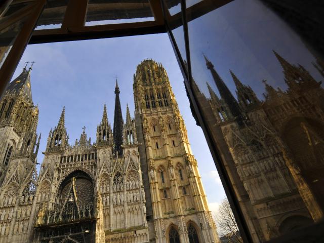
From the top of its 140 meters, the Sainte-Catherine hill allows you to observe the city of a hundred steeples, its two banks, the Seine and its bridges. Located east of Rouen, Sainte-Catherine Hill is an unmissable place to be able to admire the whole city by day and night.
Once you reach the top of Sainte-Catherine Hill, you will be able to see three reading tables, to the north, west and south, explaining the different monuments and places in front of you as Notre-Dame Cathedral, the city’s churches, Charles Nicolle Hospital, the six bridges, the Archives Tower…
This panorama has seduced many artists such as Claude Monet, who painted his “General View of Rouen” there, a painting you can find at Musée des Beaux-Arts of the city.
 La Colline Sainte Catherine
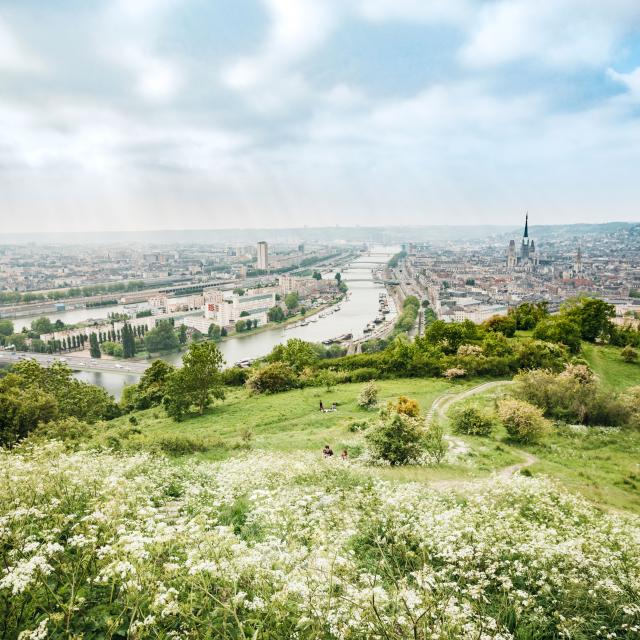 Panorama of the Sainte-Catherine coast, Rouen
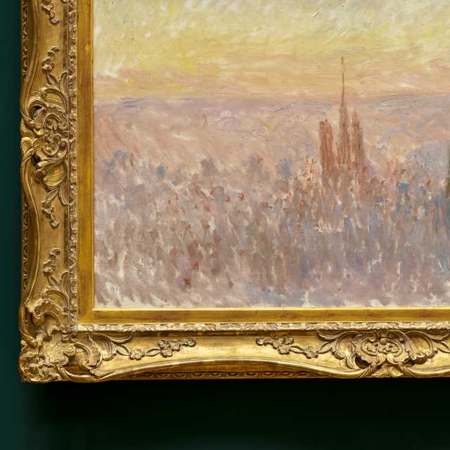 Muse╠üe Des Beaux Arts Rouen Monet 2022Vu 2481
Musée Des Beaux Arts Rouen Monet 2022Vu 2481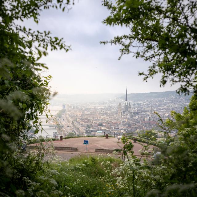 Panorama of the Sainte-Catherine coast, Rouen
In addition to being an excellent must-see photo spot for photographers, St. Catherine Hill is also a great place to settle down in a quiet green area. Take advantage of it to read a book, have a picnic or simply rest and admire the scenery.
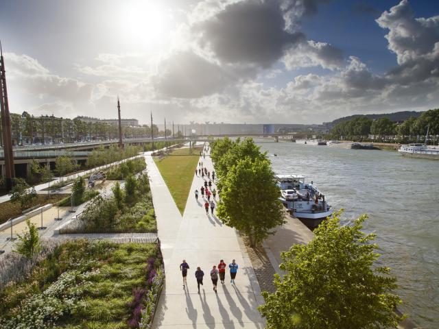
Sportsmen will also find their interest in the Sainte-Catherine hill:many are the hikers to face the 525 steps that connect the panorama of the Sainte-Catherine hill to the foot of it.
At sunset, the Sainte-Catherine hill is transformed into a real romantic place where all the lovers will be able to watch hand in hand the warm colors of the sky invade the city.
On foot
- From Cathedral Square, it takes 1.5km to reach the bottom of the stairs to access St. Catherine’s Hill.
- Cross the Cathedral to the left onto Rue Saint-Romain. Cross the rue de la République and then take the rue Martainville located on the left of the Saint-Maclou Church.
- Cross the TEOR lane, the place du Canada and continue straight on rue du Faubourg Martainville. Take rue de Mont Gargan, pass under the expressway and then climb the steps visible on your right.
 Walking in Rouen
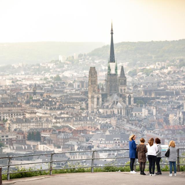 Panorama of the Sainte-Catherine coast, Rouen
 Walking in Rouen
By bus
Smart NetworkFrom the “Hôtel de Ville” stop:
- A direct line to the Sainte-Catherine Hill panorama:
- Take bus #13 towards Belbeuf and Boos. Get off at the “La Corniche” stop.
- The trip takes about 20 minutes and it takes 15 minutes to walk to the panorama along the secure development on your left.
A second line drops you off at the bottom of the hill, at the foot of the 525 steps:
- Take bus #20 towards Saint-Léger-du-Bourg-Denis.
- Down to the “Cimetière du Mont Gargan” stop. The trip is about 8 minutes.
- Once you get off at the stop, retrace your steps to get to the foot of the steps.
From the “Théâtre des arts” stop:
- Take the line #F5 (faster trip and more frequent crossings) in the direction of the Lycée Galilée.
- Get off at the “Haut de la côte” stop (about a 6-minute trip). Cross the tracks towards the Post Office.
- Take Rue de la Corniche on your left and continue straight. It will be a 20 minute walk to the view along the secure development on your left.
 Rouen, Smart Network
 Rouen, a star of the Smart Network
 Rouen, the river shuttle to cross the Seine
By car
Join the right bank docks in the direction of de Bonsecours (76240).
Two parking locations are possible:
- At the bottom of the hill, rue Henri Rivière, near the cemetery entrance.
GPS coordinates: N 49° 26′ 10″
E 1° 6′ 34.6″ - Directly at the panorama of St. Catherine’s Hill, route de la Corniche, Bonsecours.
GPS coordinates: N 49° 26′ 1.7″
E 1° 6′ 36.4″
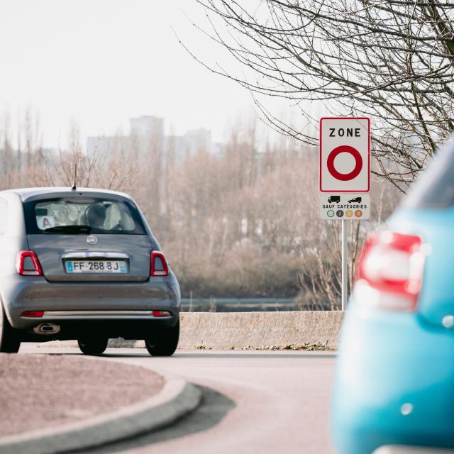 Moving within the Rouen metropolitan area
 Rouen - Panorama of the Sainte Catherine hill
 Moving within the Rouen metropolitan area